
Stage 2
Key Metrics: Distance 42.2km, Elevation Gain 1342m
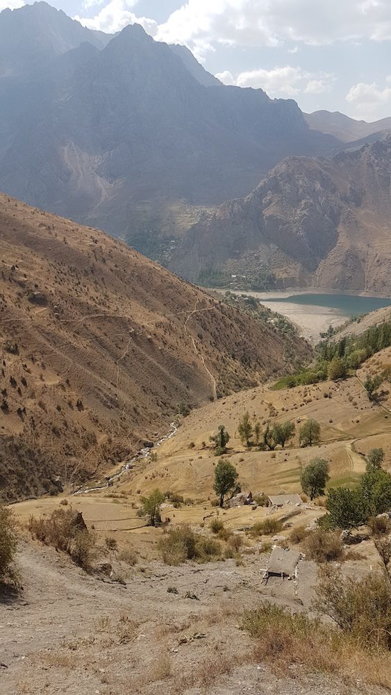
For Stage 2, runners complete a marathon length route as they run from the seventh lake over the pass and onwards to Voru Village.
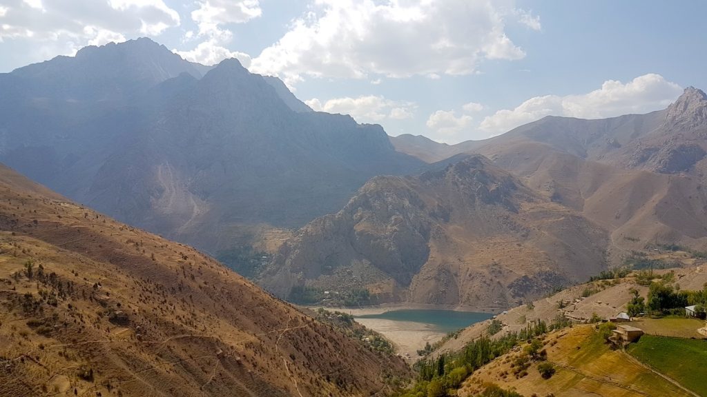
The day will start with a downhill run from the Seventh lake down to the sixth lake, where we will pick up the road up to Haftrud. Then we will ascend the switchbacks of the road to Haftrud until we reach the village where the road will turn to mountain paths. The path will climb up to the Tavasang Pass (3305m a.s.l.).
From there we will get our first test of our quadricep muscles as we descend down to the Sarimat river. We can then take our foot off the brakes and enjoy the last 18 kms of gradual downhill running. We will follow the river down the valley to the confluence of the Sarimat and the Archimaidon rivers.
There we will continue down the Archimaidon river valley until we reach the turn to Voru. The last 5 km stretch will test runners in the uphill with elevation gain of around 400m that will open up a view to a very ancient and unique view of Voru village!
Route Info
Download the GPX file: Stage 2 7th Lake to Voru Village
- Distance
- —
- Elevation gain
- —
- Elevation loss
- —
- Max elevation
- —
- Waypoints
- —
Stage 2 Stats
- 42.2 km
- 1,342 m Elevation Gain
- 2846 m Descent
- 3,307 m Highest Point
- Download GPX File